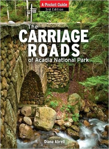
There are free NPS Carriage Road User's Maps available (highly recommended), at any of the park concessions, visitors information and here and there about the town of Bar Harbor in general, however, the book, "The Carriage Roads of Acadia: A Pocket Guide" by Diana Abrell offers turn by turn accuracy and is small enough to slip into your pocket for quick access and easy reference while on the trail. It also has a nice summary of the distances of various popular carriage road 'loops', with noted changes in elevation which can be handy when planning for a day hike, jogs, bike ride or cross country skiing.
The 3rd edition of the book is copyrighted 1985, 1995 with an updated history in 2011. Although the physical carriage road system in Acadia is not going to change apparently the NPS went about renumbering some of the intersection sign posts which are not updated in the book. Not to worry, at least for now where changes were made it is noted on the signpost itself with the old and new intersection number. You can also stop in at the visitors center and ask one of the rangers at the information counter which intersection numbers had been changed and make your own notes accordingly. Aside from this minor inconvenience the book will be valid for as long as Acadia so make notes and pass the book on to your loved ones!
Lastly, I would also highly recommend you check the visitor's center for any free ranger guided tours of the carriage road bridges (lasts about 2 hours, 2 miles round trip and usually covers 2-3 of the 17 bridges) which is highly informative and interesting wherein the ranger reviews the history of the park and how the carriage roads came to be in the first place.
No comments:
Post a Comment